-
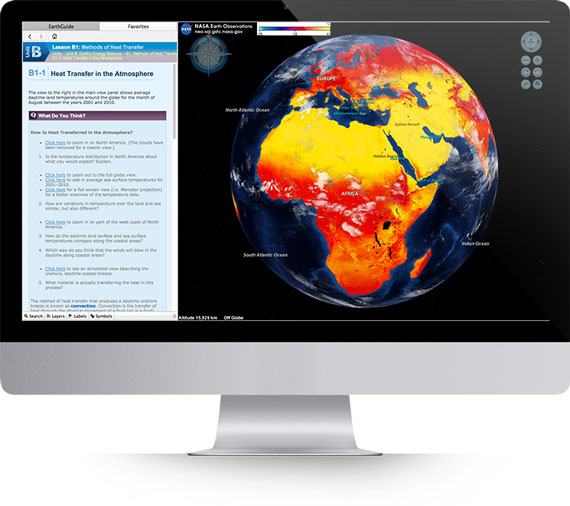
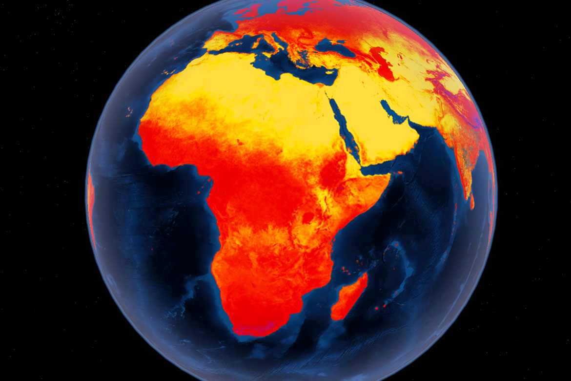 Heat Transfer in the AtmosphereMeteorology - Lesson B1Average Land Temperatures, 2001-2010.
 -
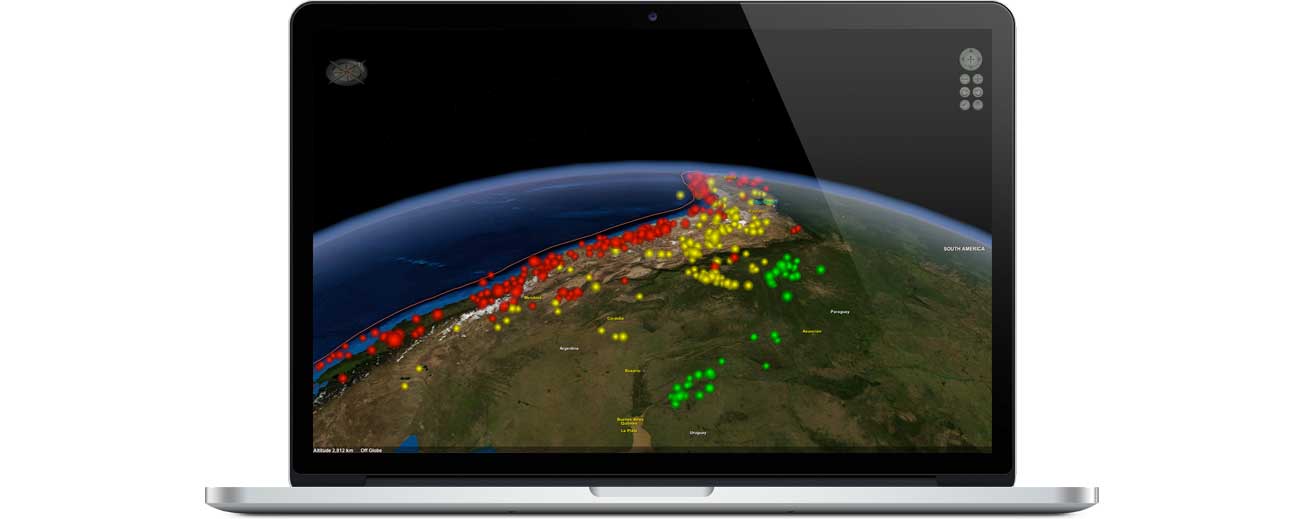
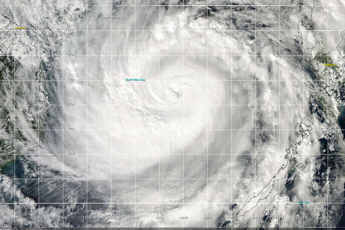 Super Typhoon HaiyanA Layered Earth "Teachable Moment"Calculating the Storm Surge
 -
 Evidence of Climate ChangeMeteorology - Lesson G4Florida's Increasing Sea Level
 -
 Climate Change & Global WarmingMeteorology - Lesson F4The gradual decrease in size of glaciers.