-
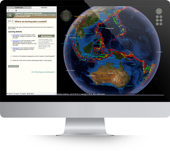
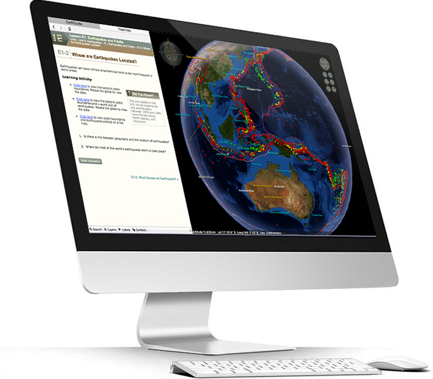
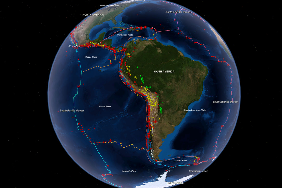 Earthquakes and FaultsGeology - Lesson E1Realtime Global Earthquake Activity
 -
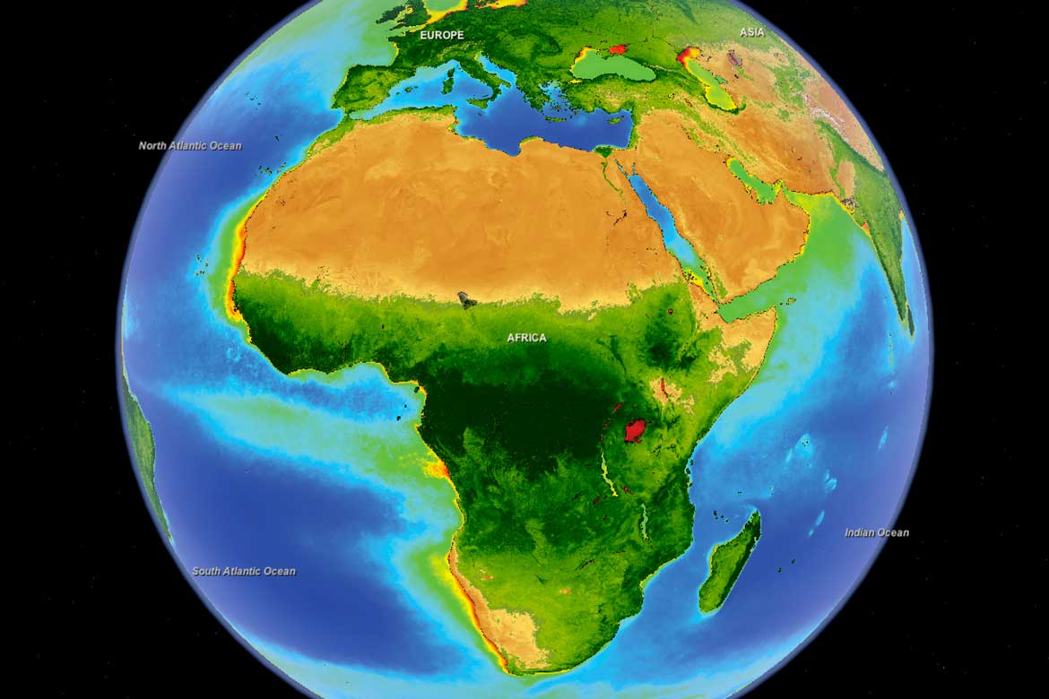 The BiosphereGeology - Lesson A5All Living Things and their Habitats
 -
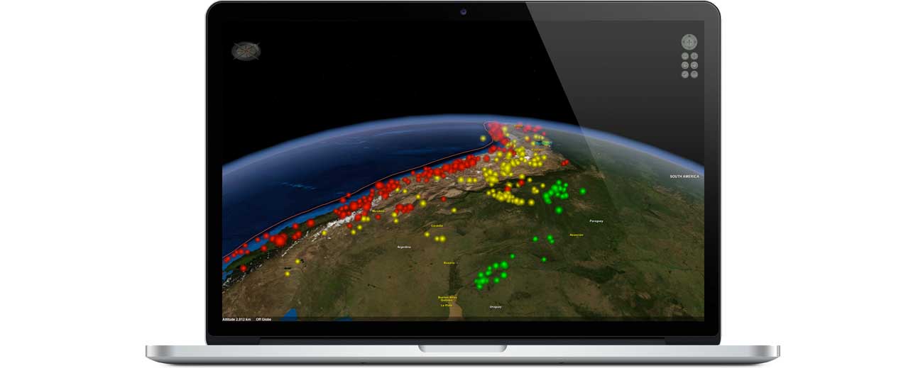
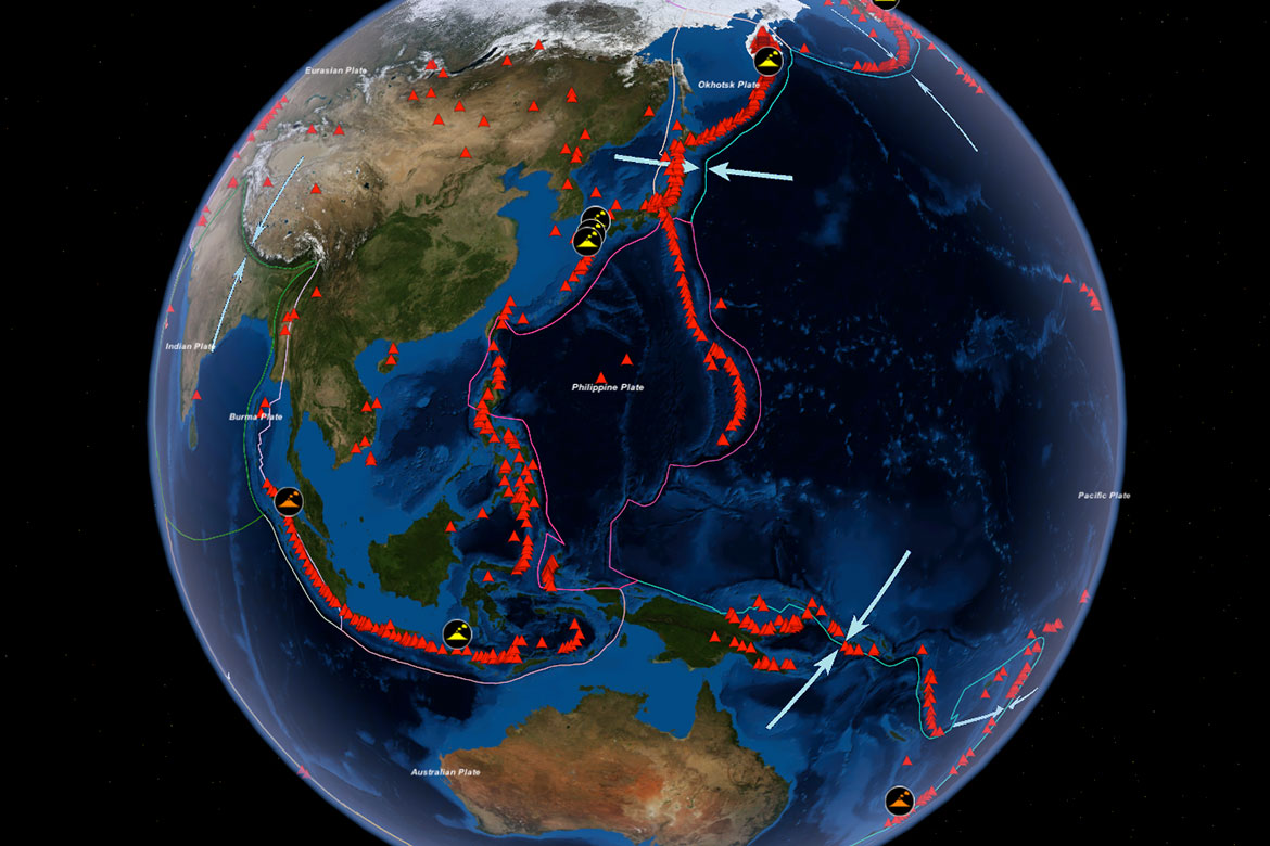 Volcanoes and Plate TectonicsGeology - Lesson F1Super Volcanoes in the Pacific Ring of Fire